Canalside Development Plan Document
(3) SECTION 3 The Canal Conservation Area
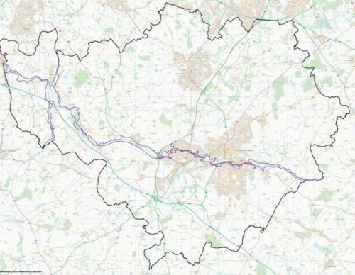
After a lengthy period of evidence gathering and public consultation, a new conservation area was designated covering the whole of the canals lengths throughout the district, in January 2019. This designation affords additional protection to the area as more changes will require a planning application and subsequent approval before being carried out. This does not preclude development and change but does introduce tighter controls over such proposals. To ensure that the area with conservation area status remains relevant and logical, the boundary has, in the most part, been drawn closely to the edge of the canal and towpath and the immediate environs, only taking in a wider aspect of the setting of the canal where it closely relates to the history and uses of the canal. These areas have now come within the protection afforded by national policies relating to conservation areas and Warwick District Local Plan policies HE1 – HE4 with particular reference to policy H2, conservation areas.
3.1 All background information, history and more details of the work undertaken to designate the conservation area can be found on the council's website www.warwickdc.gov.uk/site_search/results/?q=canal+conservation+area

