BASE HEADER
Gypsy and Traveller Site Options
10. Table of Sites
10.1 Options for Sites and Areas of Search.
|
Site |
Site map reference |
Potential no. of pitches |
|---|---|---|
|
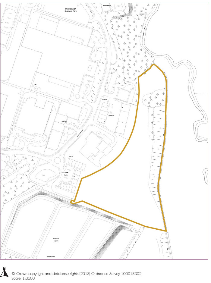
Land adjacent The Colbalt Centre, Siskin Drive |
10 |
|
|
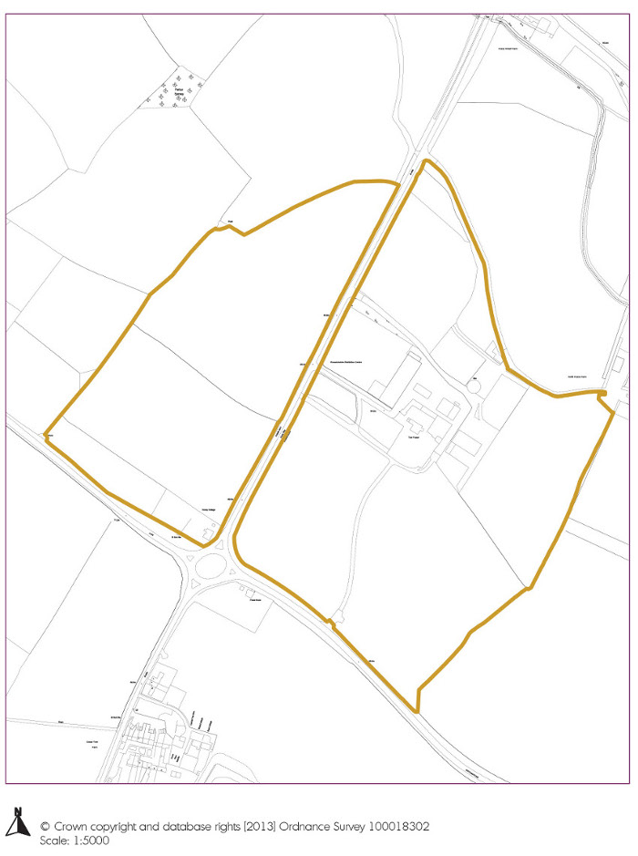
Land abutting the Fosse Way at its junction with the B425 |
15 |
|
|
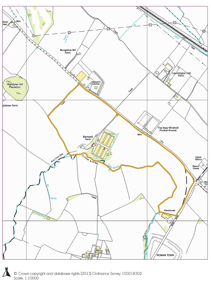
Land at Barnwell Farm, Harbury Lane |
15 |
|
|
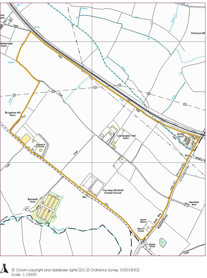
Land at Harbury Lane, Fosse Way |
15 |
|
|
Land at Tachbrook Hill Farm, Banbury Road |
15 |
|
|
Land at Park Farm, Spinney Farm |
15 |
|
|
Land at Stoneleigh Road |
15 |
|
|
Depot to the West Side of Cubbington Hill Farm |
6 |
|
|
Land to the north east of M40 and south of Oakley Wood Road |
15 |
|
|
Land at Tollgate House and Guide Dogs National Breeding Centre |
8 |
|
|
Land at Budbrooke Lodge, Racecourse and Hampton Road |
12 |
|
|
Land at north and west of Westham Lane (area of search) |
15 |
|
|
Kites Nest Lane, Beausale |
8 |
|
|
Warwick Road, Norton Lindsey |
2 |
|
|
Land to east of Europa Way |
4 |
|
|
Land to north of Westham Lane and west of Wellesbourne Road, Barford (small site) |
7 |
|
|
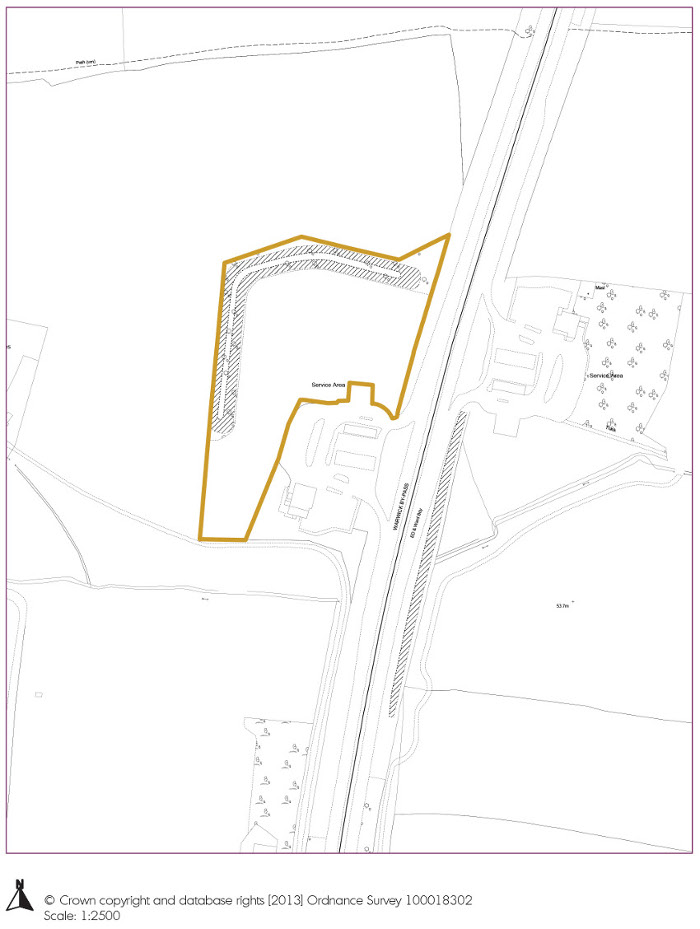
Land on Southbound carriageway of A46 (former Little Chef) |
6 |
|
|
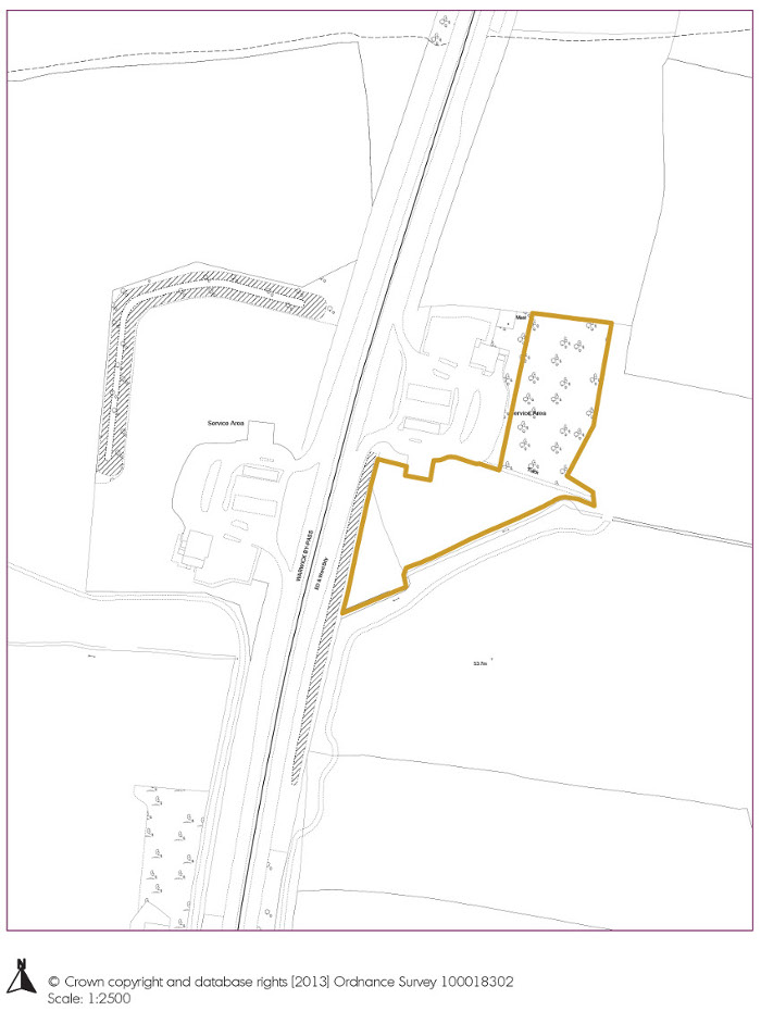
Land on Northbound carriageway of A46 (former Little Chef) |
8 |
|
|
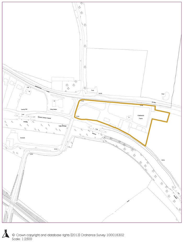
Land adjacent Shell Petrol Filling Station, Birmingham Road, Budbrooke, Warwick |
5 |
|
|
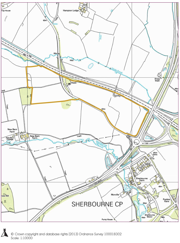
Land at J15 M40/A46 |
10 |
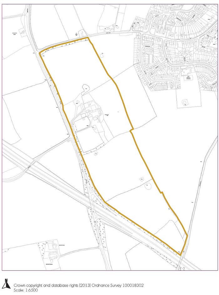
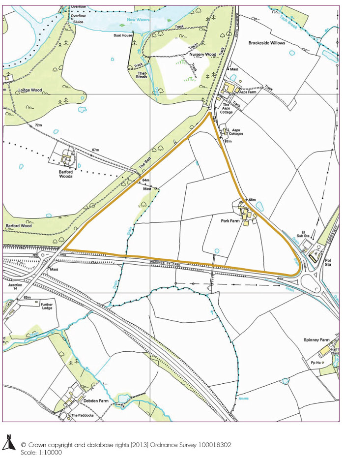
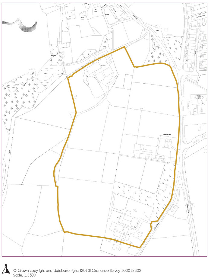
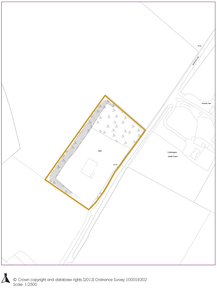
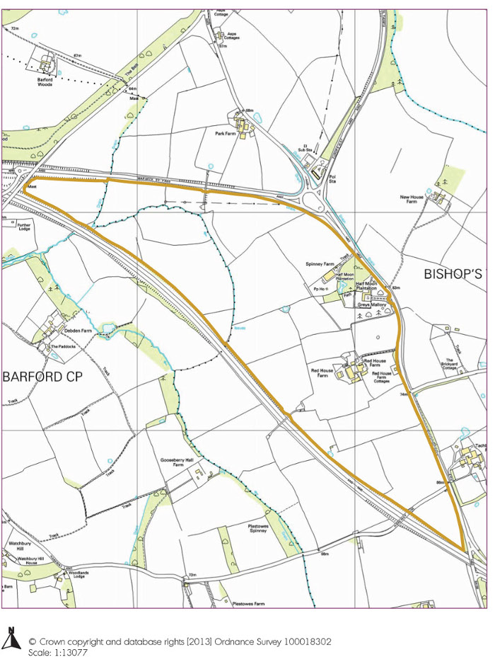
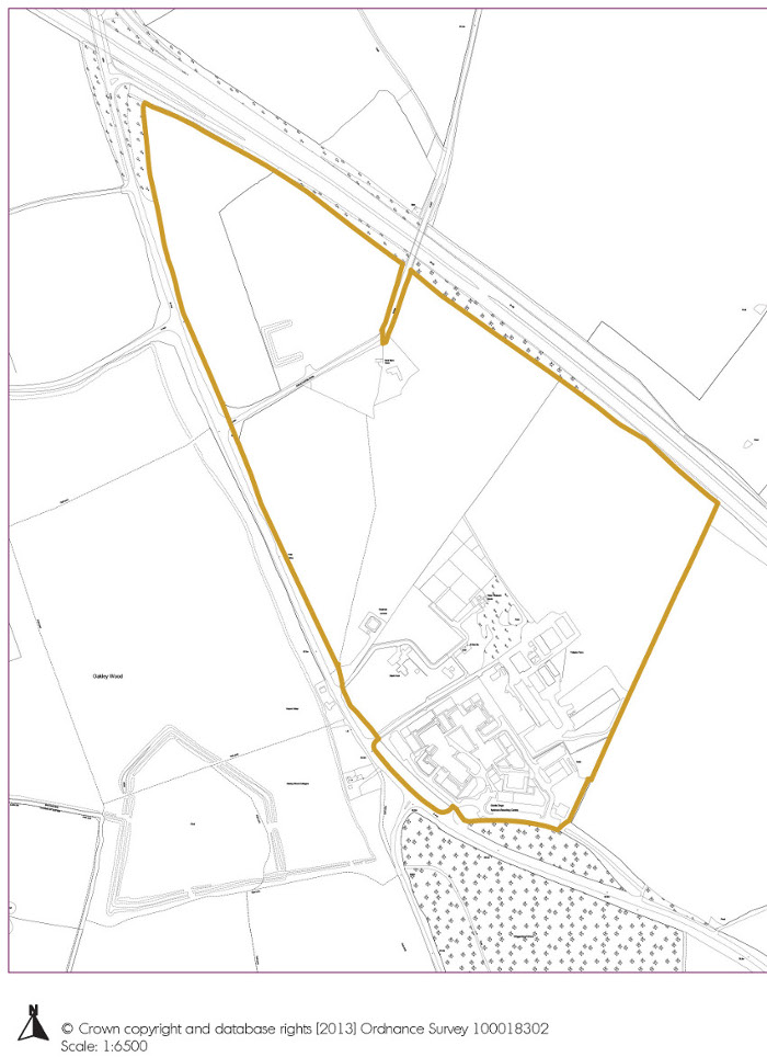
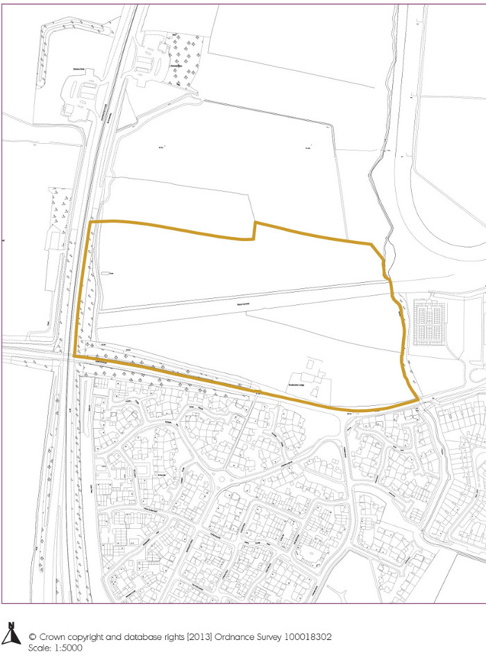
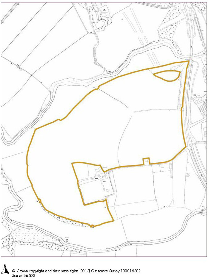
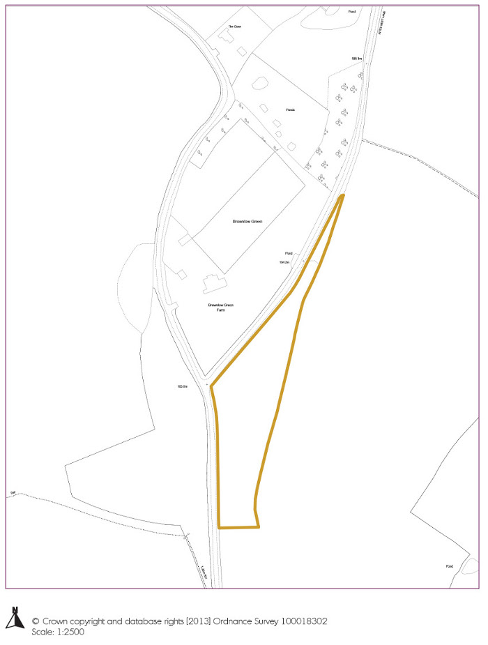
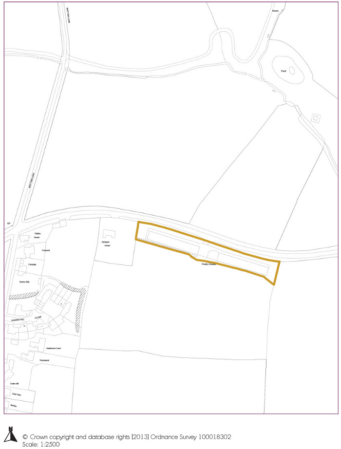
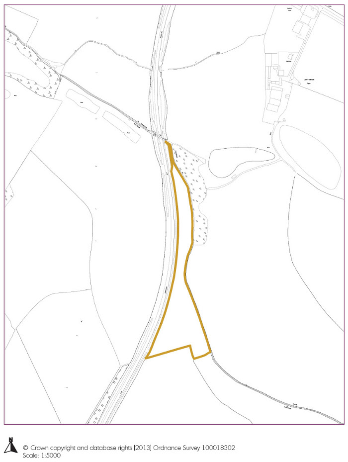
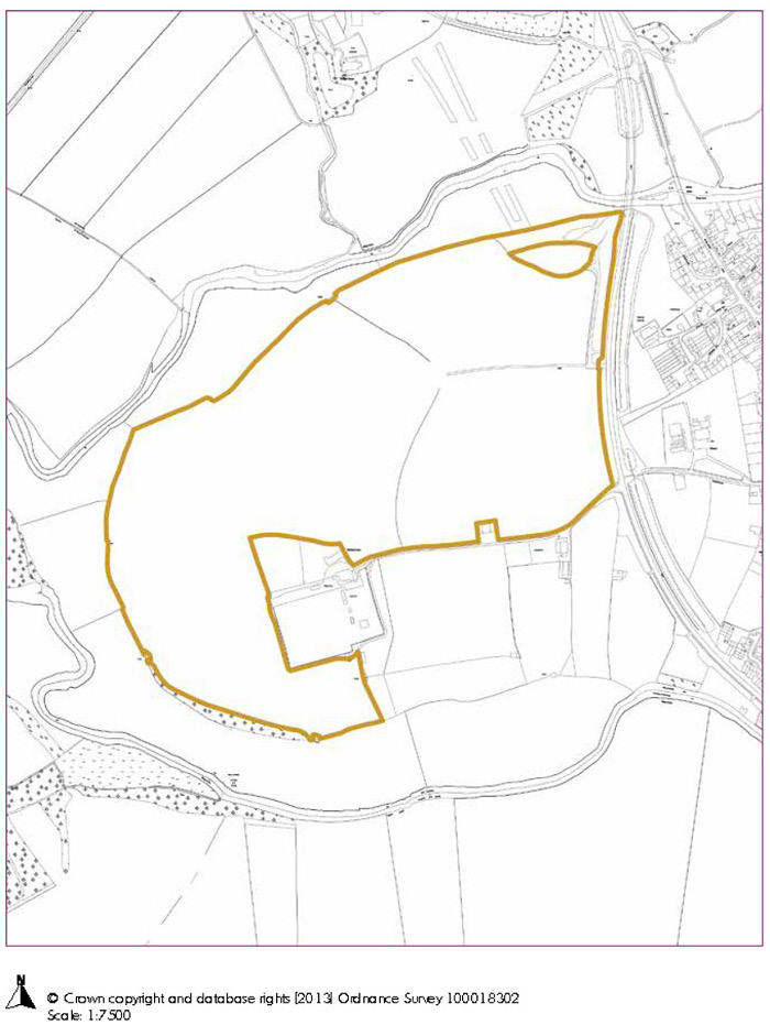
10.2 The following maps give the broad location of the majority of these sites, but more specific boundaries where these are constrained by other uses or restrictions on land use e.g. flooding.
